August Summer Classic Auction
Lot 2168:
Description
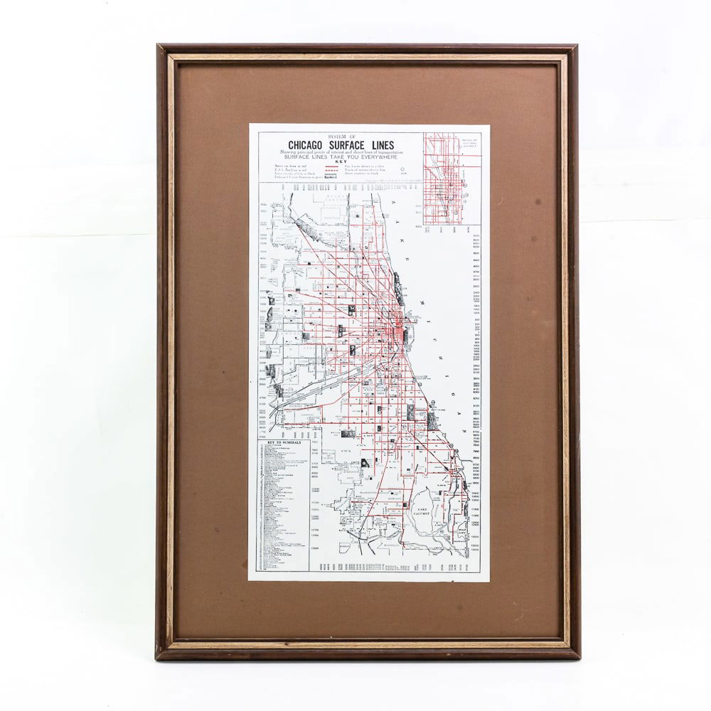
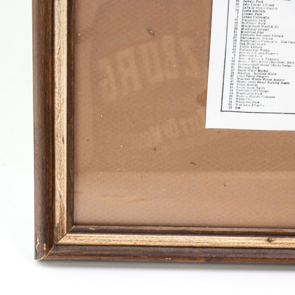
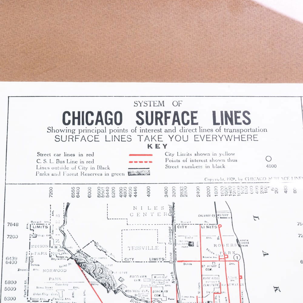
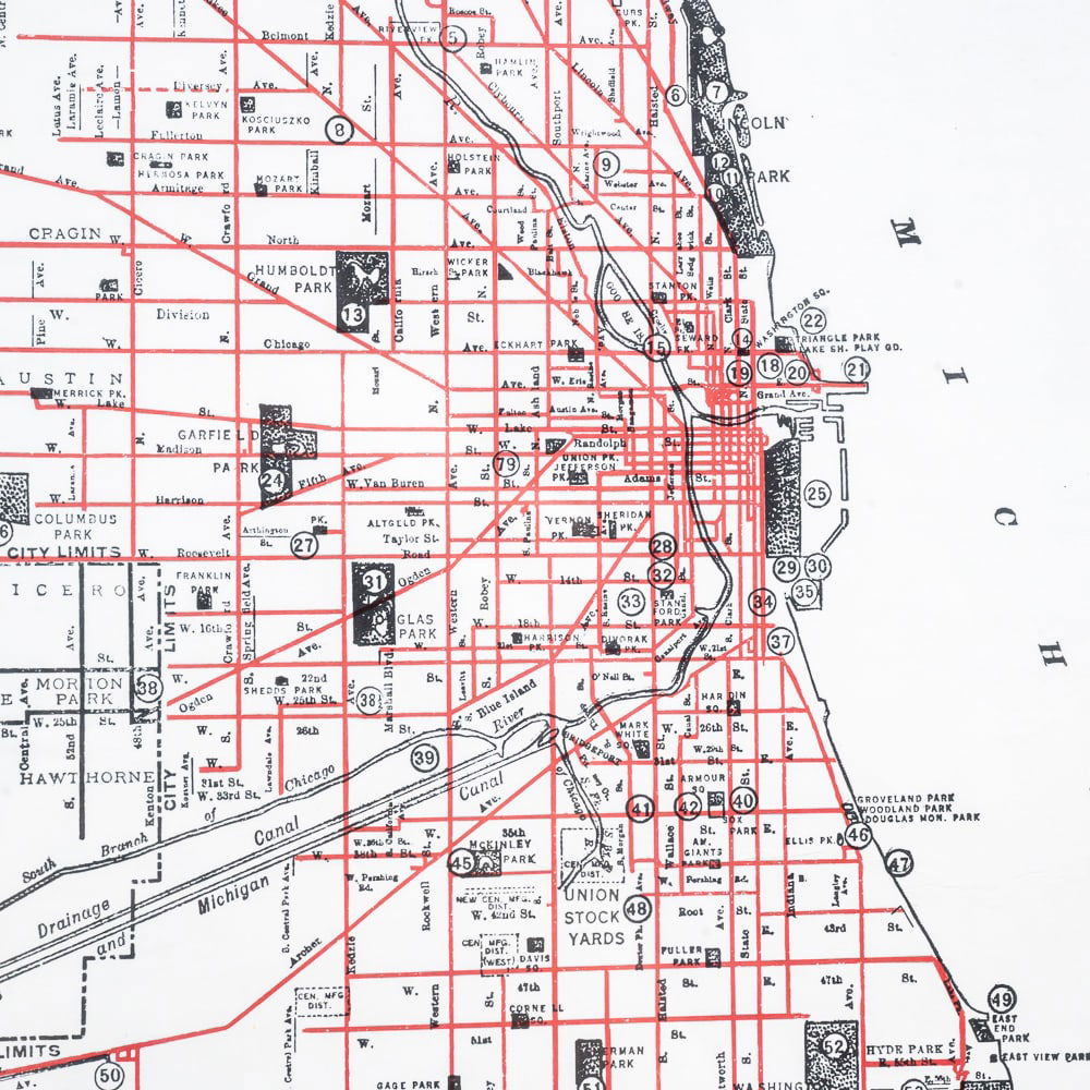
Chicago Surface Lines Map, vintage unknown, maybe printed in 50’s/60’s? In the late 19th century, Chicago was served by a patchwork of transit lines including streetcars, horse-drawn trolleys, and elevated rails. The Chicago Surface Lines were formed in 1914 to consolidate the routes of the four primary operators of the city?s streetcars. The original map, published in 1925, shows the network of surface lines after over a decade of largely uninterrupted growth, though increasing competition from the automobile spelled trouble in future years. Seventy-one different locations of interest are numbered within the map, the vast majority of which are accessible via streetcar routes in bright red. Map shows principal points of interest and direct lines of transportation, tiny paper tear at bottom edge, very good condition, zoom in on main photo, map measures 21" x 11", frame 28 1/2" x 18 1/2".
Share this lot: